At Just Scanning we specialise in concrete scanning and utility location for residential, commercial and mining applications. Having over ten years’ experience in the interpretation of radar data gives our clients peace of mind. Whilst our technology that we use is second to none, it’s our operators that sets us apart.

SERVICES
Perth’s premiere Utility Scanners
Utility locating is the detection and mapping of all underground utilities to prevent damage to underground gas, water, power or other service lines during excavation. At Just Scanning, we work on projects of all sizes, from home renovations to large scale civil projects.
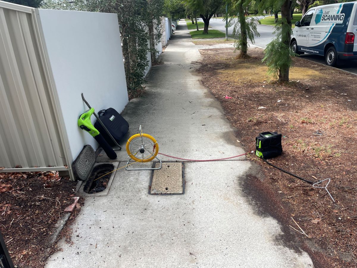
Active locating involves searching for a specific line using either the direct connection or inductive method. The locator is either attached directly to the line or if you cannot make a direct connection to the line, a frequency is selected and induced into the ground and reradiated by the utility.
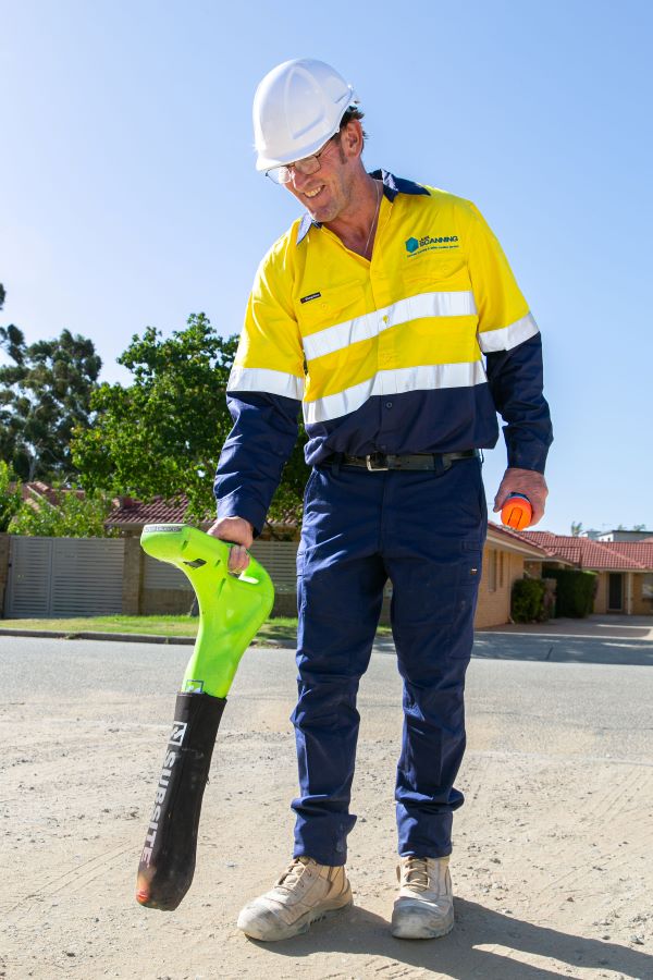
At Just Scanning, we use the Subsite Utility Locator. We have had great success with this product and have great faith in its ability to provide the highest quality data for our clients.

All-Terrain Scanning and utility location involves ground penetrating radar and EMF location.
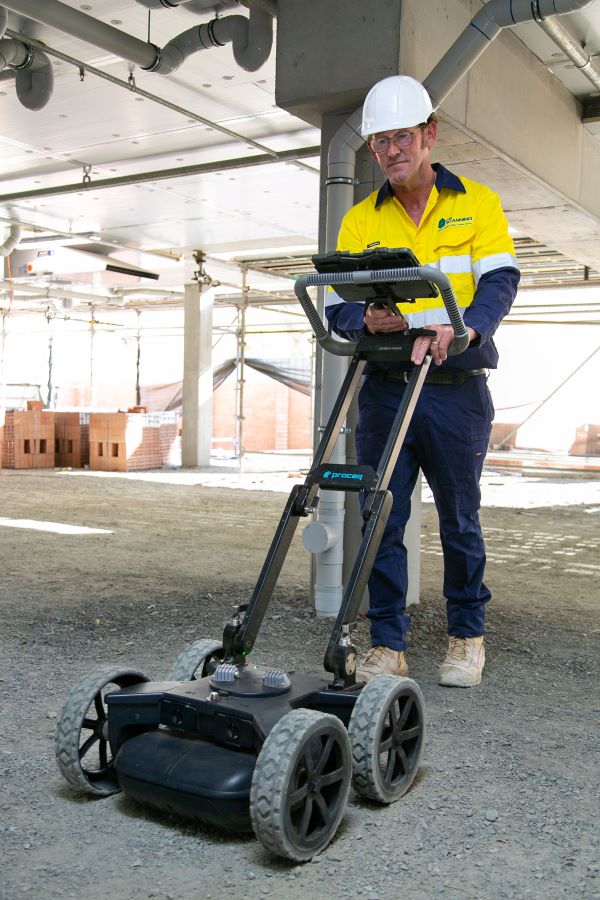
At Just Scanning, we use the Proceq GS 8000 Ground Penetrating Radar. This radar is unique in that it sends two frequencies simultaneously. A low frequency for maximum depth and a higher frequency for incredible clarity. In addition to this, we can GPS locate the targets to within approximately 2 cms utilitising up to 30 satellites at a time. This data can be uploaded into CAD software for even more precise data mapping than ever before. The detail is amazing, the accuracy is revolutionary and its a service that we love providing for our clients.
By cross referencing the EMF data with the Radar Data we can give our clients the most comprehensive and detailed report that technology allows us to today. So why not give us a call?

Whilst EMF location is a great way to locate targets, ground penetrating radar is essential in determining the exact location and depth.
Using the Proceq GS 8000 Ground Penetrating Radar we have many services that are revolutionary to the industry.
A computer generated report for utility location services usually includes a map of the services drawn onto a google maps photo. Now, these services are GPS located and can even be put into a CAD Drawing. What a fantastic development in technology that can only benefit our clients and their needs.

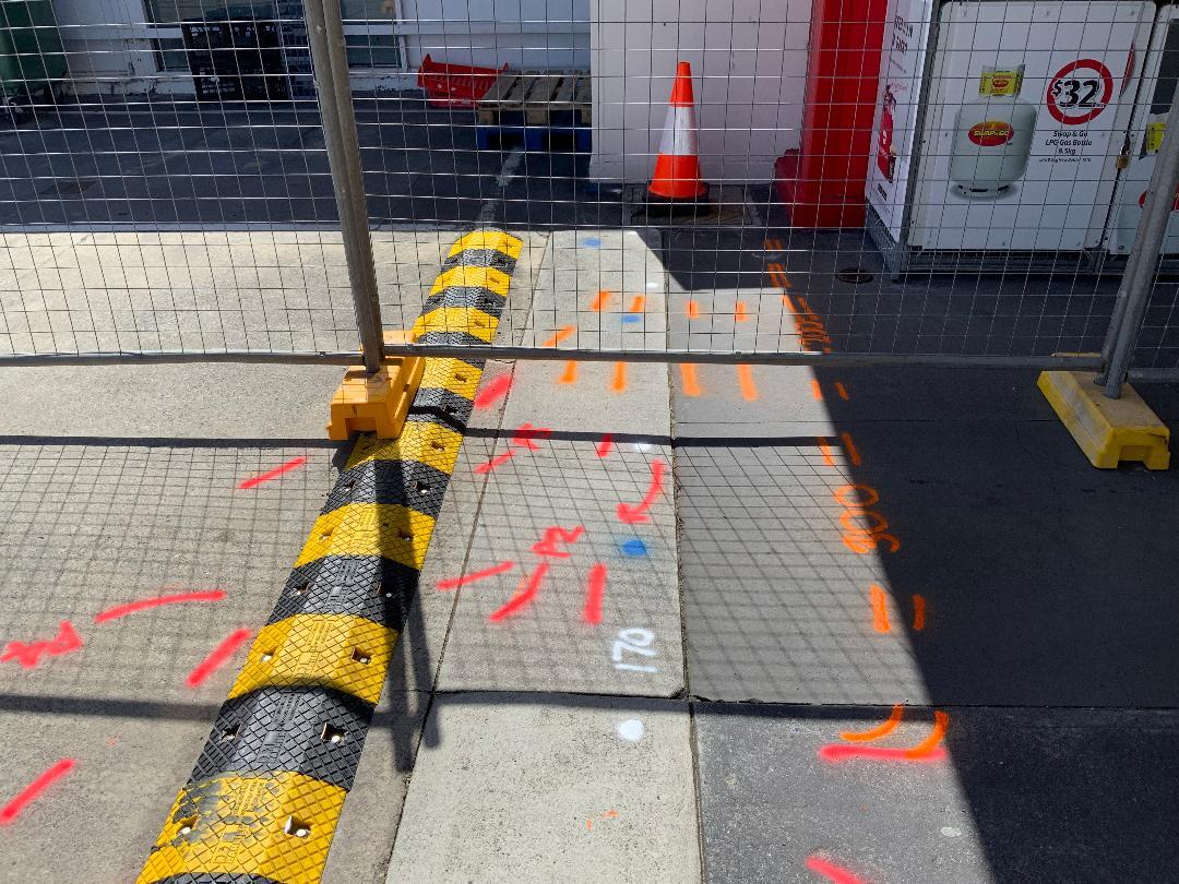
At every All-Terrain Scan and Utility Location data is collected, we mark the area for our clients.
Depending on the terrain we will mark the ground directly or use coloured stakes to indicate the location of targets that were located.
These include but are not limited to:
Red: Electrical
Blue: Water and Fire
Yellow: Gas
White: Communications/Telstra
Green: Sewer/Waste Pipes
Pink: Unknown Targets
In addition to this we include our detailed computer generated report, 3D Augmented Reality Grid Scanning, GPS Mapping and CAD Software friendly data files for our clients.
Let us know your individual needs and we can tailor our services to best suit your needs.

